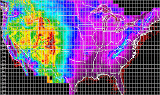
DLG or digital line graphics are data that can be layered on a map giving locations of states, counties, parks, rivers and lakes. This particular elevation map of the United States is overlain with DLG from the USGS.
URL: http://weather.unisys.com/usgs/3sec/usgs-US.gif
No comments:
Post a Comment